By: Bart Beck
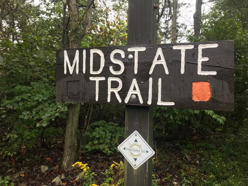
Pennsylvania’s Mid State Trail is currently over 500km long and cuts from Maryland to New York through the middle portion of Pennsylvania, including much of Rothrock State Forest. I referred to the length in km because the MST Association and its creators decided to measure the path in such a way as to be in unity with the rest of the world. The actual length of the trail changes depending on detours and reroutes. The creators have done a great job of working to route the path through natural areas to keep the trail what they call “Pennsylvania’s wildest footpath.”
In order to create this trail and keep it from following roadways as much as possible, the Department of Conservation and Natural Resources, the Pennsylvania Game Commission, the Army Corp of Engineers, and many private citizens and organizations have allowed the trail to pass through their lands. It also takes a great number of volunteers to keep the trail cleared and properly blazed. Some of these groups include the Mid State Trail Association and the Bucknell Outing Club. Without all of these people and organizations, the trail would never make it to the boarders of Rothrock.
Entering along the Frankstown Branch of the Juniata River near the town of Alfrata, the MST begins a meandering journey through Rothrock State Forest. It goes around Round Mountain, plods along the train tracks into Barree, and then works its way up the Little Juniata River to begin ascending Tussey Mountain. With gorgeous views of the valleys below, the trail follows Tussey Ridge until reaching Little Flat fire tower. Dropping down to Bear Meadows Natural area, the trail progresses onto Detweiller Run, which it follows until crossing another ridge to make course for Penn-Roosevelt State Park. Once to Penn-Roosevelt, it’s only a short distance until it exits Rothrock via a tunnel underneath of State Route 322.
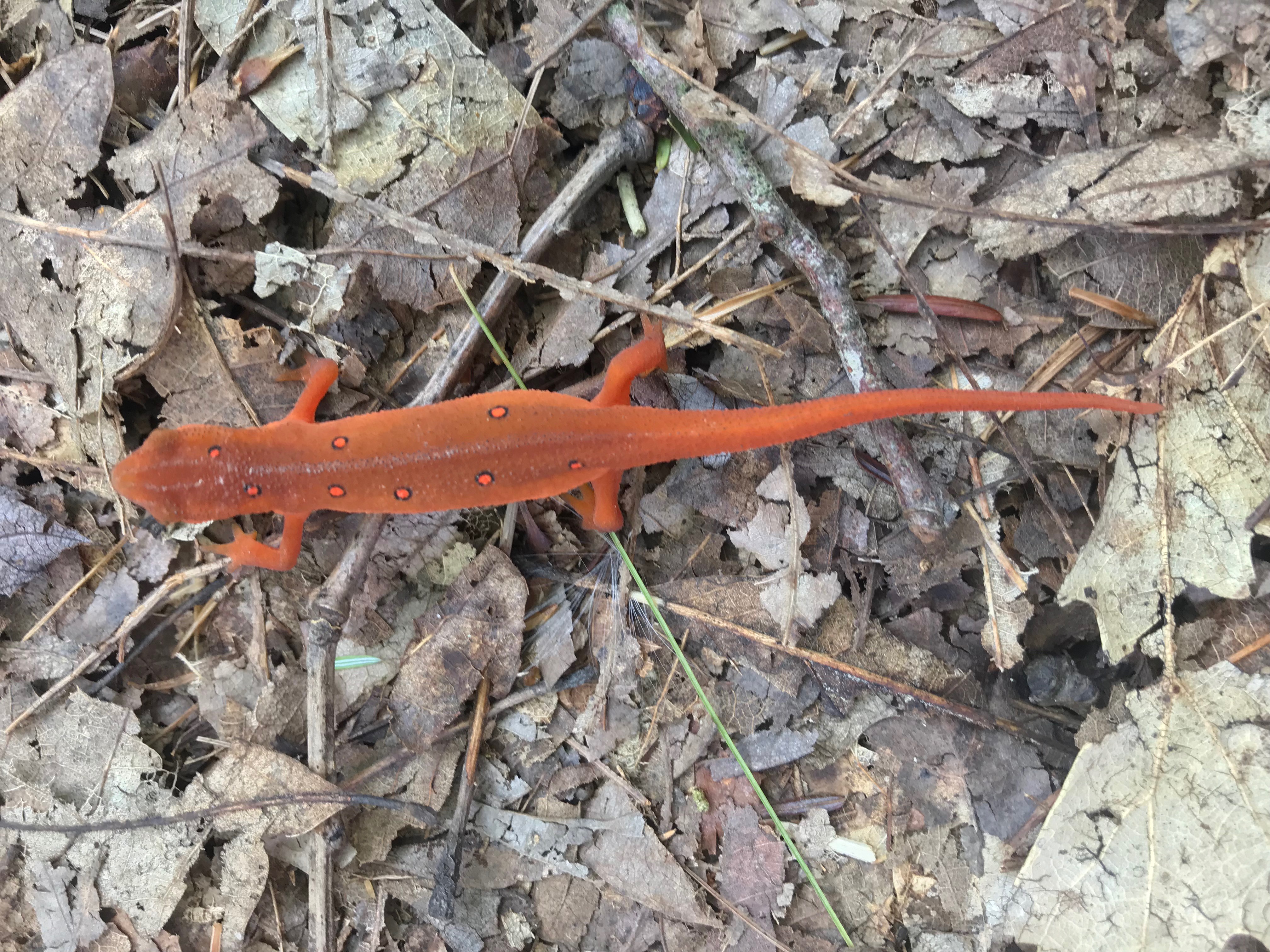
In all, the Mid State Trail spends approximately 42 miles within Rothrock State Forest. During that time it passes through diverse ecosystems, breathtaking views, and historical locations. Whether you make your way along the MST as part of a day hike or as part of a longer backpacking adventure, you are sure to find those 42 miles challenging at points, inspiring at some, and, most of all, enjoyable throughout.
Points of Interest
- Trail Logs: if you happen to pass a mailbox along the trail, take a moment to read through the log and leave a note yourself
- View at Little Juniata Natural area: frequented by bald eagles soaring above the Little Juniata River
- View at Penn Furnace Road: beautiful views of rural Pennsylvania
- Joe Hays Vista: popular view along SR 26 overlooking the town of State College
- Little Flat Tower: fire tower that has been retired as an active fire lookout
- Bear Meadows Natural Area: home of a unique ecosystem that includes a peat bog
- Penn-Roosevelt State Park: home to a historic Civilian Conservation Corp camp
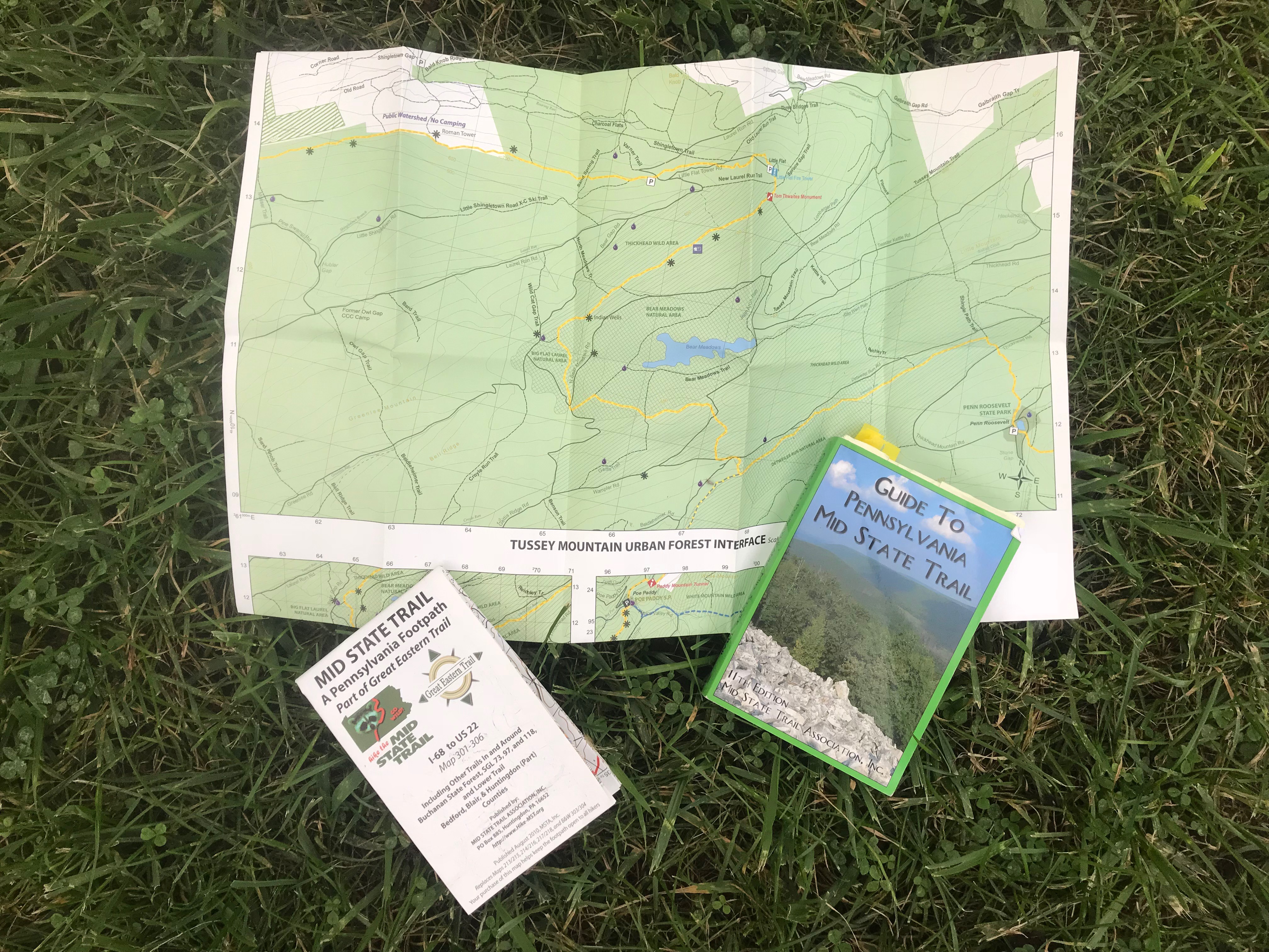
For More Information on Pennsylvania’s Mid State Trail:
https://www.kta-hike.org/mid-state-trail.html
http://www.docs.dcnr.pa.gov/forestry/recreation/hiking/stateforesttrails/midstatetrail/index.htm